Everyone knows why October 7, 2023 changed Israel. But an obscure Ottoman law makes another date worth watching: October 7, 2026.
In 1858, the Ottoman Empire enacted a land code under which three consecutive years without cultivation could have consequences for rights to certain agricultural land.
Now, three years after October 7, that old rule may suddenly matter.
The Three-Year Rule
Much of the agricultural land of the Ottoman Empire was classified as miri. The sovereign retained ultimate title (“state land”) while individuals could acquire valuable rights of possession and use, known as tasarruf.
Active use of the land mattered.
Article 68 of the Ottoman Land Code addressed agricultural land left uncultivated for three consecutive years without a valid excuse. The original Ottoman mechanism was more complicated than “three years and the government automatically owns your land,” involving tapu, the status of the holder and opportunities to recover the right.
But the underlying principle was clear: continued cultivation could matter to continued land rights.
| Ottoman term | Meaning | Relevance |
|---|---|---|
| Miri | State land carrying individual possession/use rights | Much agricultural land |
| Tasarruf | Right of possession and use | The individual’s valuable land right |
| Mahlul | Lapsed/reverted possessory right | Potential consequence of qualifying non-cultivation |
| Tapu | Land registration/title system | Documentary evidence of rights |
This is not merely an Ottoman historical curiosity. It passed on to the British, Jordanians and then Israel with few modifications.
In 2020, Israel’s Supreme Court addressed the rule directly in HCJ 5426/17, Barakat v. Head of the Civil Administration in the West Bank (Nov. 29, 2020). The Court held that under the Jordanian land law still applicable in the territory, an unregistered tasarruf right acquired through cultivation could be extinguished if the land was left uncultivated for three consecutive years, causing the land to revert to the government under Article 68’s mahlul doctrine. By contrast, a tasarruf right that had been formally registered generally was not lost merely because the land subsequently lay fallow.
So the three-year rule remains relevant to unregistered land in Judea and Samaria today.
Then Came October 7
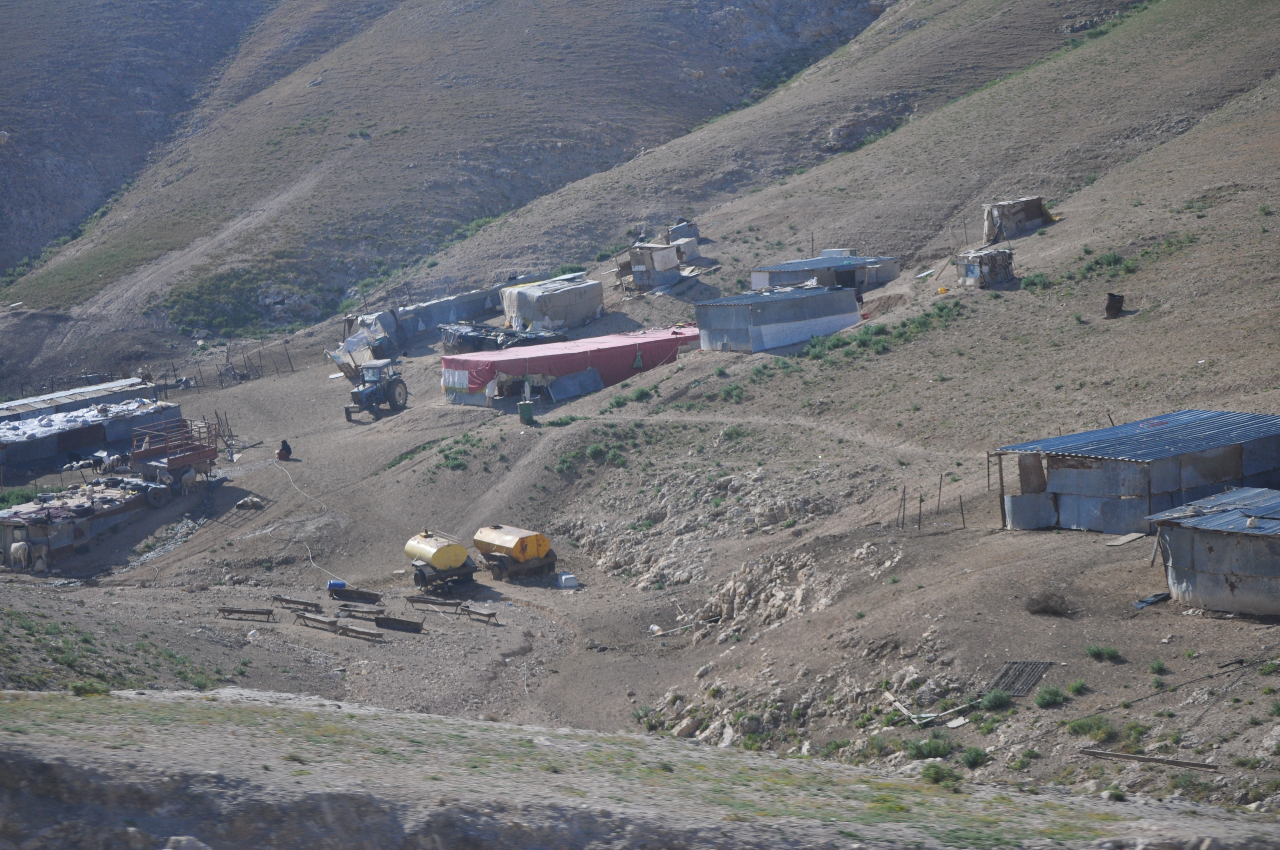
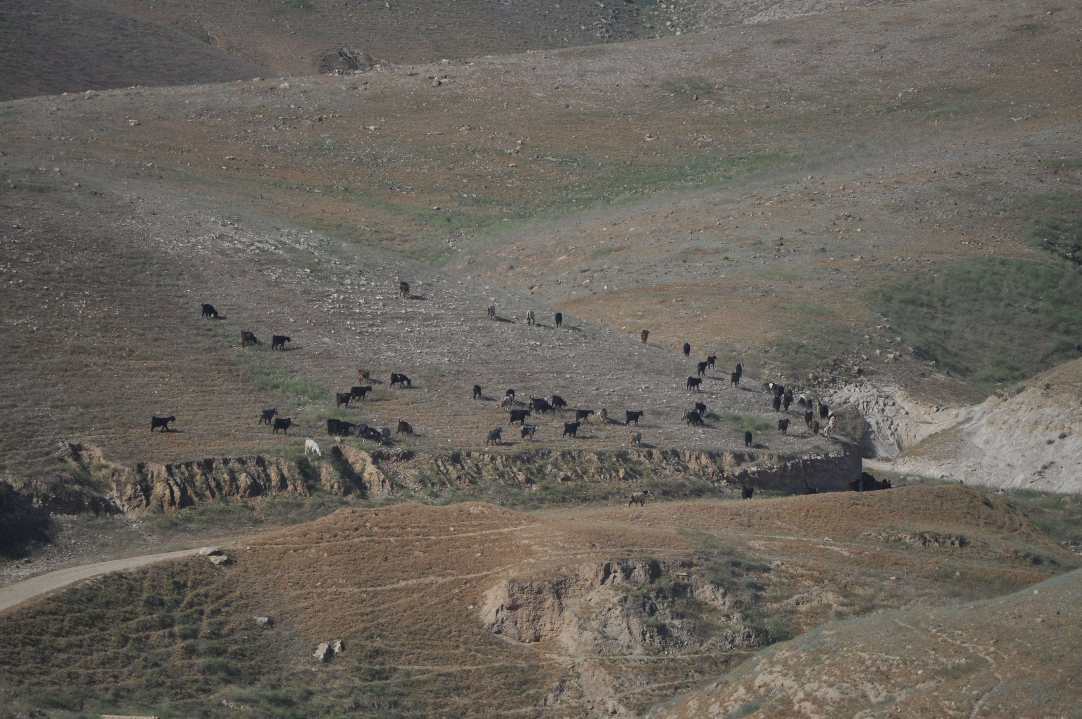
After the October 7 massacre by Gazans, security conditions dramatically changed access to agricultural land across the region. OCHA reported that more than 96,000 dunams of olive-cultivated land went unharvested during the 2023 season following access restrictions and violence. By the 2025 olive harvest, OCHA was reporting that farmers from multiple villages had been completely denied access for the third consecutive year to certain olive groves.
That creates the question: How much unregistered agricultural land has actually gone uncultivated since October 7, 2023?
The Eye in the Sky
There is something unusual about these particular three years.
Israel has had extraordinary security reasons since October 7 to maintain extensive aerial surveillance of Judea and Samaria.
At the same time, the Civil Administration already uses sophisticated geographical information in determining land status. Its Surveying Unit maintains cadastral and mapping information, while its Supervision Unit operates a team whose stated function is examining land through survey procedures “aimed at locating state land in the area, for declaration as such.”
The Civil Administration therefore potentially possesses an extraordinarily detailed record of whether cultivation occurred.
Request For Access
Consider two claimants whose land appears uncultivated in aerial photographs for three years. One produces repeated applications showing: I wanted to cultivate my land. Israel prevented me from reaching it. The other has no comparable record.
Those are materially different factual cases based on the background discussed above.
OCHA reports that Palestinian liaison authorities submit farmers’ access requests to Israeli authorities and tracks approvals, denials and pending requests in particular areas. Those applications coupled with the aerial documentation, may move the land into a different legal category.
Meanwhile, Israel Is Looking for State Land
This is where the 1858 law meets 2026.
The Civil Administration openly maintains a Survey Lands team charged with examining whether land can be declared government property. Its newly published procedures show that potential survey areas are placed on a priority list requiring approval by the head of the Civil Administration and the Defense Minister or an authorized representative.
The State Comptroller describes the same team’s purpose as locating and marking land in Judea and Samaria that can be declared government property.
And Israel has dramatically accelerated state-land declarations.
In February 2026, the Israeli government approved the resumption of systematic land-registration proceedings in Area C, allocating approximately NIS 244 million to the effort—the first such broad registration initiative since Israel suspended the previous settlement-of-title process after 1967.
Peace Now calculates that approximately 27,119 dunams had been declared state land under the current government by June 2026, nearly as much as it says had been declared during the entire period since the Oslo Accords. A Palestinian Authority commission consequently calculates that approximately 29,335 dunams have been included in state-land declarations since October 7, 2023.
And we haven’t yet reached the anniversary when many West Bank Arabs encountered more restrictions on movement due to the war their Gazan brothers waged on Israel.
October 7, 2026
That is what makes the third anniversary different.
Consider the ramifications of Ottoman law to this point in time:
- 1858: Ottoman law makes three years of non-cultivation legally significant for certain land rights.
- 2020: Israel’s Supreme Court confirms that the Article 68 mahlul doctrine remains relevant to unregistered tasarruf rights in Judea and Samaria.
- 2023: October 7 is followed by enormous disruption of access to agricultural land.
- 2023–2026: Israel accumulates an extraordinary photographic record of what is happening on the ground.
- 2024–2026: state-land declarations accelerate.
- 2026: Israel funds a major new land-registration initiative.
- October 7, 2026: three years have elapsed for when many West Bank Arabs accessed land they had used previously.
Nothing automatically changes ownership at midnight of 10/7. Many questions remain.
How much affected land is actually unregistered miri land? Was it legally “uncultivated”? What constitutes a sufficient excuse? What happens when Israeli security restrictions themselves prevented cultivation? And what evidence exists showing that individual claimants continued asserting their rights?
Those questions will have to be answered parcel by parcel.
But after October 7, something will exist that did not exist before: three complete post-massacre years of evidence.
October 7, 2023 changed the security map of the Middle East. October 7, 2026 may begin changing the actual map of Judea and Samaria as well.